The Caleb Pike Trail, Gowlland Tod Provincial Park |

|
One of the biggest reasons we wanted to move to Vancouver Island was for the close proximity to nature. Ocean, Mountains, Rainforest, and more; this islands has it all. Over the 5 months that we’re here we are hoping to do a lot of hiking, both close to our home-base of Victoria, but also more widely across the island. We started this goal off with a nice, fairly easy trek, close to the city at Gowlland Tod Provincial Park.
Location
Gowlland Tod Provincial Park is easy to find and fairly well signed. Its on Caleb Pike Road and the parking lot for this trail head is directly to the left of the "Gowlland Tod Provincial Park, Caleb Pike" sign.
We started our day early in the morning, leaving our house at 8:30 and being on the trail by 9:00. The drive from Esquimalt to the Caleb Pike parking lot was about 20 minutes. From the parking lot, on the gravel road, walking into the park through open yellow gates, and the trail head is the first one on your right with a slightly confusing sign pointing you downward.
The trail is close to the highway and houses, meaning you can not totally escape the noise of cars.
Difficulty
This trail is easy to moderate with few steep inclines. There were two instances of a slightly steeper portion, however, the trail was visited by elderly couples, small children, inexperienced hikers, and joggers. There are also options to make this hike shorter/easier if you just want to get to one viewpoint as there are a couple different parking lots and trail heads, see the maps below for more options.
This trail is easy to moderate with few steep inclines. There were two instances of a slightly steeper portion, however, the trail was visited by elderly couples, small children, inexperienced hikers, and joggers. There are also options to make this hike shorter/easier if you just want to get to one viewpoint as there are a couple different parking lots and trail heads, see the maps below for more options.
The Path
The path itself was obvious and well worn making it easy to walk side by side for most of it.
The path itself was obvious and well worn making it easy to walk side by side for most of it.
Length
We hiked a total of 3 hours here, going from the parking lot at the Caleb Pike trailhead to Malahat Viewpoint and back with a 20-minute stop for a picnic lunch and photo shoot.
We hiked a total of 3 hours here, going from the parking lot at the Caleb Pike trailhead to Malahat Viewpoint and back with a 20-minute stop for a picnic lunch and photo shoot.
Timing
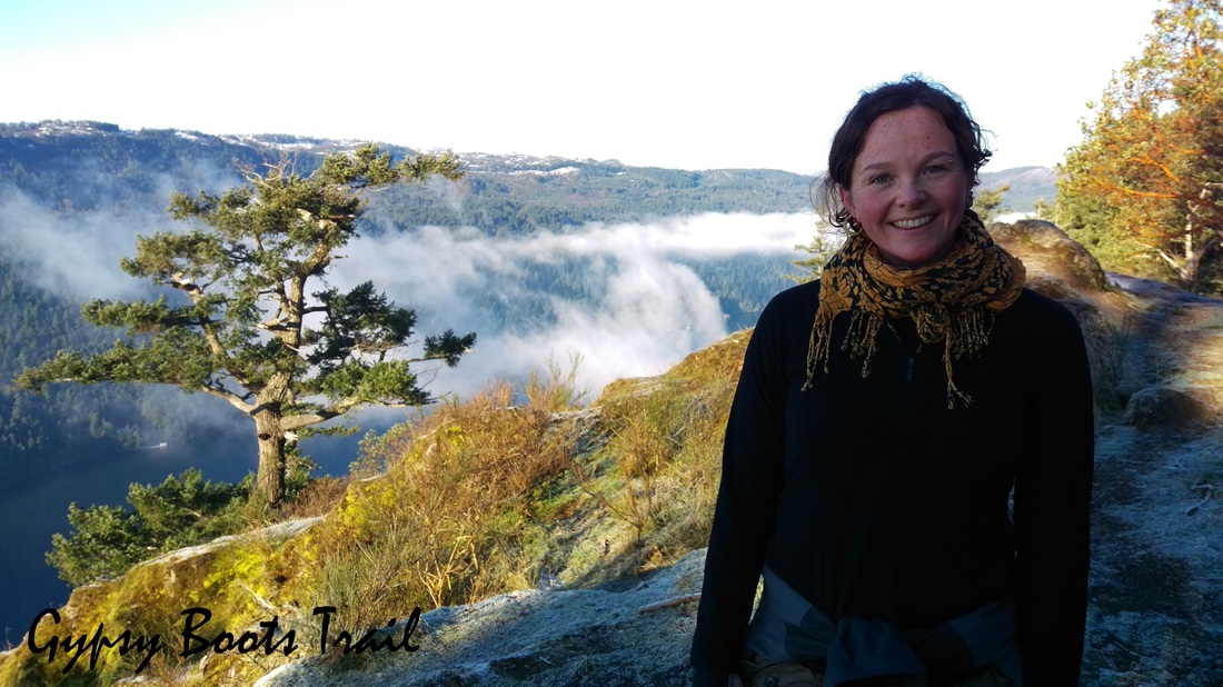
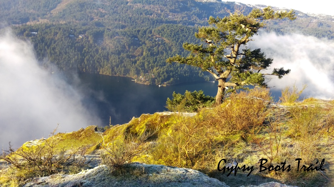
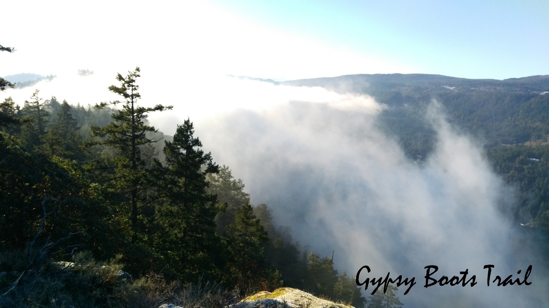
We started our hike at 9:00am in early January. This was a great time to start because the trail really started to get busy at 11:00/noon as we were on our way out. The fog was still fairly heavy over the lake however at the beginning meaning starting an hour later may have given better views. Also, this trail has a lot of shade in the mornings so it was quite chilly.
We started our hike at 9:00am in early January. This was a great time to start because the trail really started to get busy at 11:00/noon as we were on our way out. The fog was still fairly heavy over the lake however at the beginning meaning starting an hour later may have given better views. Also, this trail has a lot of shade in the mornings so it was quite chilly.
|
|
Highlight
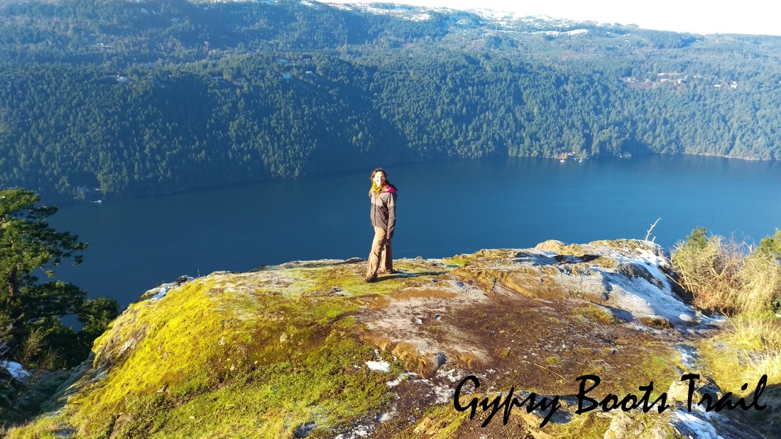
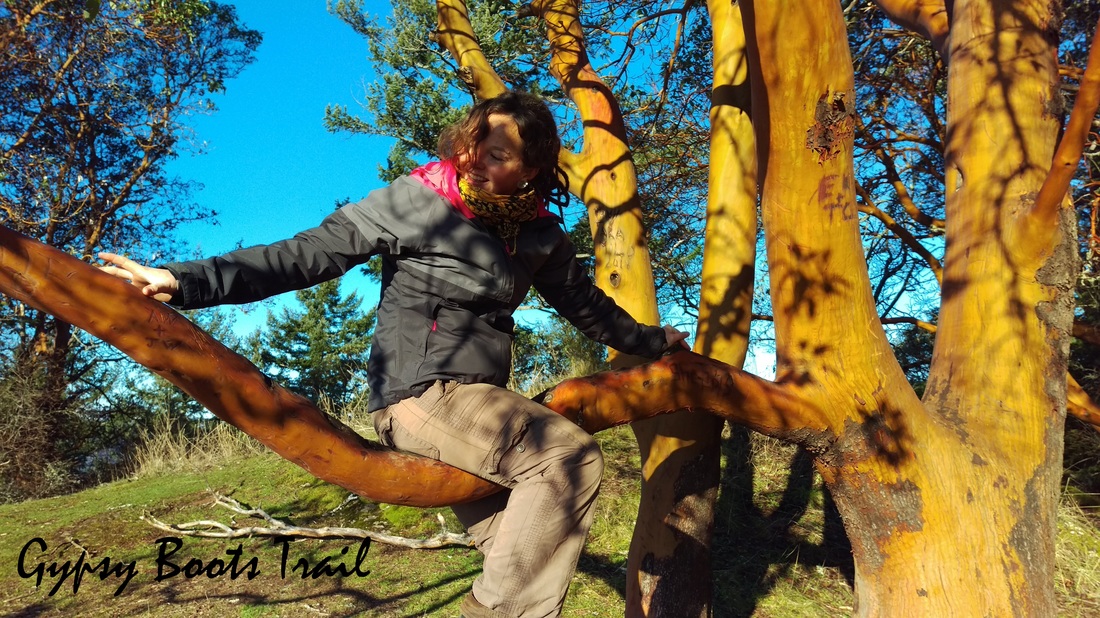
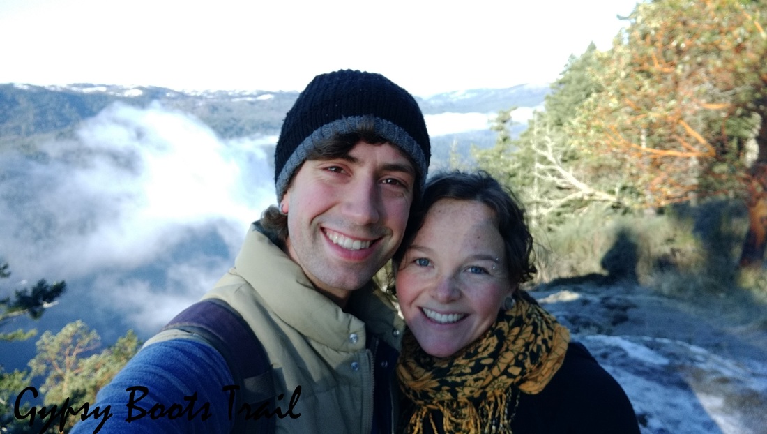
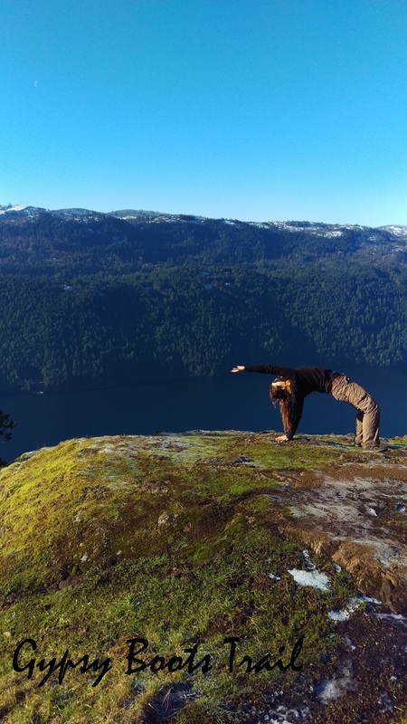
The highlight of this hike were definitely the viewpoints where the trees break, you can approach the cliffside looking down at the lake, and are able to look out over the East side of the Saanich Inlet. The fog, though limiting visibility really made me feel amongst the clouds and the lake itself is a gorgeous and bright blue in the sunlight.
The highlight of this hike were definitely the viewpoints where the trees break, you can approach the cliffside looking down at the lake, and are able to look out over the East side of the Saanich Inlet. The fog, though limiting visibility really made me feel amongst the clouds and the lake itself is a gorgeous and bright blue in the sunlight.
And of course,
|
|

Resources
General MapTrail Map - middle |
Trail Map-SouthTrail Map - North |
 RSS Feed